
Get the latest news, tips & insights on the connected world from the new DVG blog.
Blog
11.01.21 By: Ann Borowik
Updating an Esri Basemap Vector Tile Package with a Custom Style
Esri has curated a collection of basemaps and has made them available in the various components of the ArcGIS Platform. These basemaps are optimized for use in ArcGIS apps and…
03.17.21 By: Chris Klaube
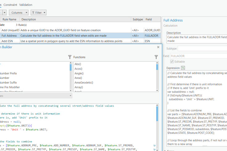
ArcGIS Pro Attribute Rules: 3 Examples to Get You Started
If you’ve been editing in ArcGIS Pro for some time, you’ve probably heard of ArcGIS Attribute Rules. Maybe you’re coming from ArcMap and you’ve even used the Attribute Assistant add-in…
01.07.21 By: Chris Klaube
ArcGIS Online: Updating Hosted Feature Layers
Feature layers in ArcGIS Online (or ArcGIS Enterprise) often contain dynamic records that must be regularly hydrated. There are a number of best practices that you should be aware of…
01.04.21 By: Ann Borowik
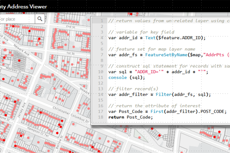
Using ArcGIS Arcade to Power your Pop-Ups: Part 2
The first part of this blog post demonstrated how you can use Arcade to add attributes to a layer’s pop-up from a related record, including attributes calculated from the related…
12.21.20 By: Ann Borowik
Using ArcGIS Arcade to Power your Pop-Ups: Part 1
Arcade is a scripting language that Esri developed for use within the ArcGIS platform for creating custom labeling expressions and calculations. It allows to you make calculations, perform geometry functions,…
12.08.20 By: Johnathan Schwarz
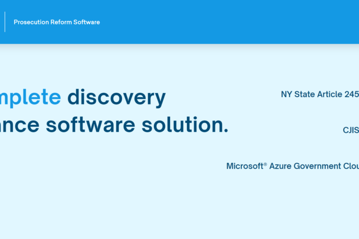
eDiscoveryPro – Discovery Compliance Software
DVG’s eDiscoveryPro software digitally transforms the process of receiving and sending critical case files between Law Enforcement Agencies, the District Attorney’s office, and Defense Attorneys. This proven solution is being…
12.07.20 By: Chris Klaube
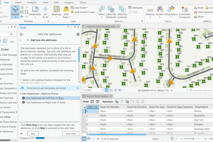
ArcGIS Pro Tasks: Unlock Productivity in ArcGIS Pro
Consistency is one of the crucial elements to success. Without consistency, you do not have accuracy or reliability. This applies to any business workflow, however it particularly applies to complex…
07.23.20 By: Ann Borowik
ESRI Survey123 & Operations Dashboard for Disease Outbreak Surveillance
The coronavirus pandemic is on everyone’s mind right now: where are we seeing spikes, which populations are most vulnerable, how can we contain the spread. Infectious disease outbreaks are spatial…