
The dvg team was able to attend both the Developer Summit and the Partner Conference in Palm Springs last week. Needless to say, there were many positive trends and new technology to talk about. esri’s pool of technology is both deep and wide, so I’ll just stick to the new and exciting stuff that was developer focused.
ArcGIS Python API
Version 1.0.1 of the ArcGIS Python API was released in February and it is full of features for administering/automating ArcGIS Online/Portal. For folks accustomed to using the ArcREST Python modules, much of features will look familiar. Managing the API with Anaconda is a great step forward. You can also manage the API through Pro or command line, use virtual environments, and docker containers. One of the best parts is that is ships with Jupyter Notebook, which is a great environment for teaching and communicating data analysis. I could go on…
JavaScript API 4.3
The JavaScript API has been around for a while, but version 4.3 continues to improve. Creating 3D web apps that use AGO web scenes takes only a few lines of code to get started. For example, after your Dojo module imports you can create a 3D scene this easily
var scene = new WebScene({

portalItem: {

id: "xxxxxxxxxxxxxxxxxxxxxxxxxxxx"

}

});

// Set the WebScene instance to the map property in a SceneView.

var view = new SceneView({

map: scene,

container: "viewDiv",

padding: {

top: 40

}

});
Using web scenes in ArcGIS Online saves a ton of code!
Esri JavaScript developers are well accustomed to working with Dojo toolkit. If your interested in using a web framework like Angluar (or Ember, Elm, etc.) you have to inject the esri JSAPI into your Angular app, rather than the other way around. This is because Dojo uses the AMD loading spec, which doesn’t mesh well with web frameworks. Fortunately, esri has patterns and code for dealing with this. There were multiple talks on Angular (v1 and AngularJS), Ember, and others. Check out these resources
- Andy Gup & Jacob Wasilkowski’s talk – https://jwasilgeo.github.io/presentations/2017/angular-and-the-arcgis-api-for-javascript/#/
- Rene Rubacalva’s GitHub is a great resource – https://github.com/odoe/angular-esri
- Angular2 esri loader Gist – https://gist.github.com/jwasilgeo
- Anglular 1 + esri – https://github.com/Esri/angular-esri-map
- Ember cli add on – https://github.com/Esri/ember-cli-amd
ArcGIS Enterprise
ArcGIS Enterprise is new! Well, sort of. Enterprise consists of 4 main products; ArcGIS Server, Portal for ArcGIS, ArcGIS Data Store, and the ArcGIS Web Adaptor. These products by themselves are not new, but the idea is that they should all be deployed together to create an “enterprise” GIS. Each product has been improved in it’s own right at the 10.5 release. One of the big improvements for Portal is “Portal-to-Portal” linking, which enables users to link many portals together and share data with varying levels of permissions. A big step, and very cool! Linking AGO with Portal is on the road map as well.
Chef is also the orchestration/automation tool of choice for deploying ArcGIS Enterprise. Esri has published a set of cookbooks on their GitHub site, that include single machine configurations as well as multi VM sites.
Other Notes
- R-Bridge is a great addition for data scientists. This enables calling and wrapping R functions in geoprocessing tools.
- Esri has just about standardized functionality across all of their SDKs (.NET, Java, etc.), so that users get the same experience across platforms/devices.
- Esri has a new expression language called Arcade, which is designed to standardize expressions across the esri ecosystem.
- Esri demoed some of their big data capabilities. Some involved geoanalytics and image server backed by scalable Azure clusters. There are also ways to leverage Spark and Hadoop.
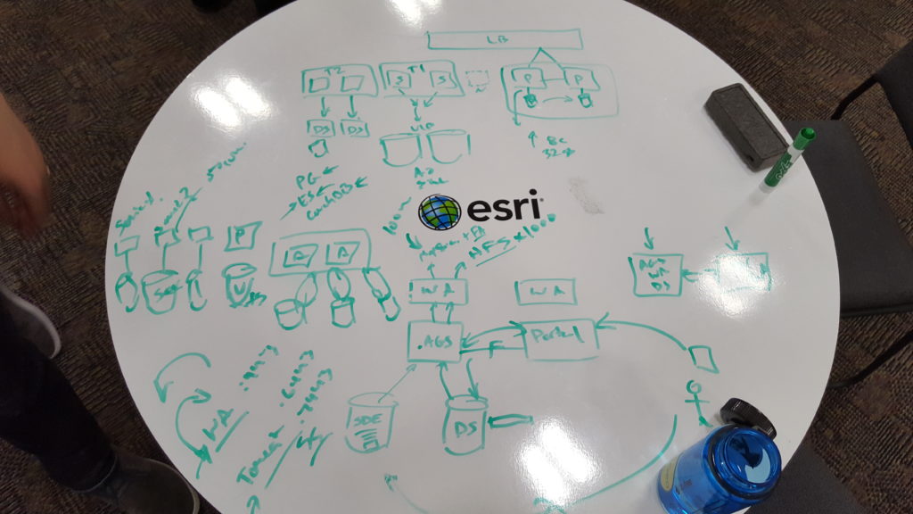
By the way, one of the best parts about the Developer Summit is that you can talk with engineers and have detailed architecture conversations over a table/whiteboard.