NYC geocoding for your enterprise
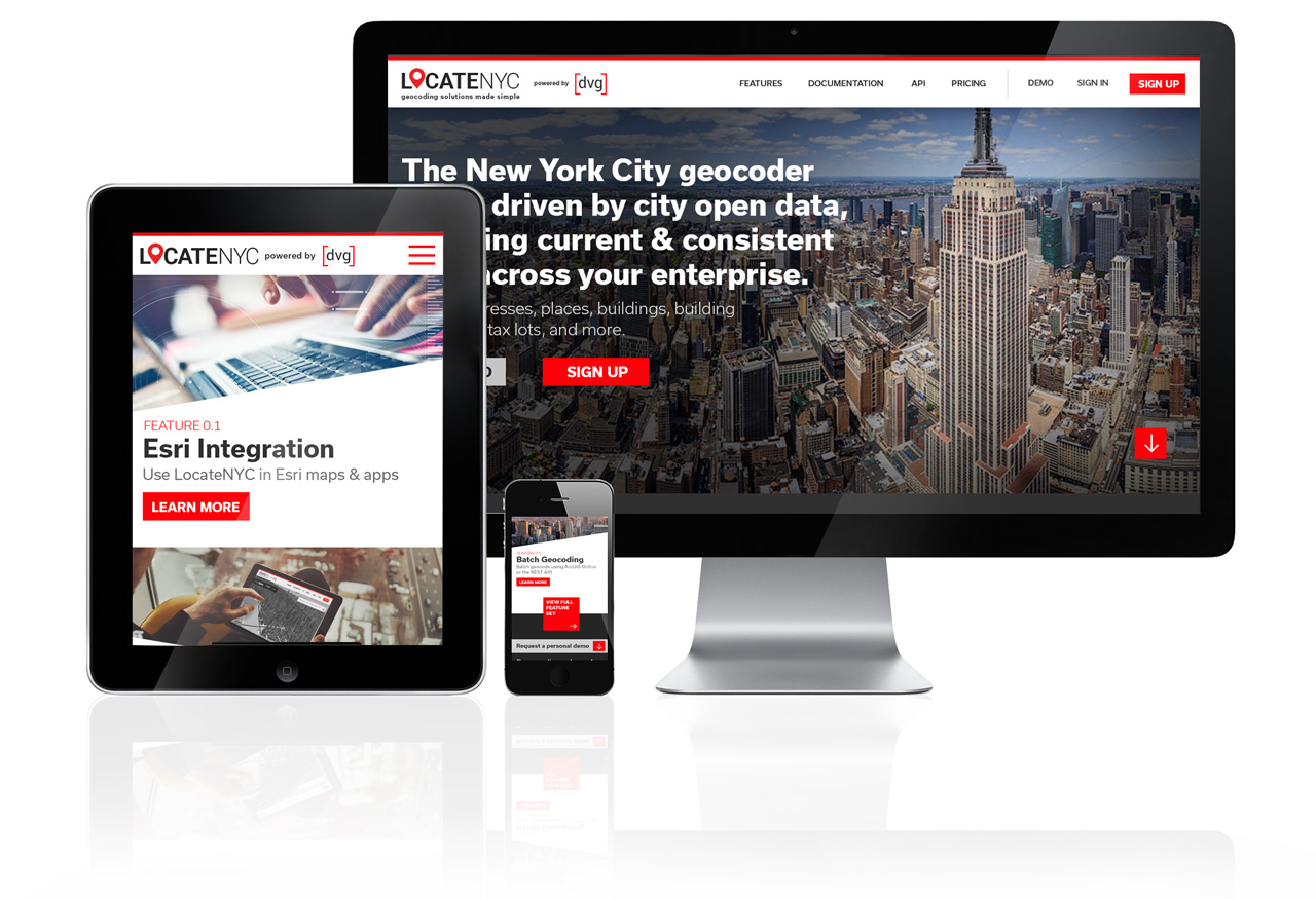
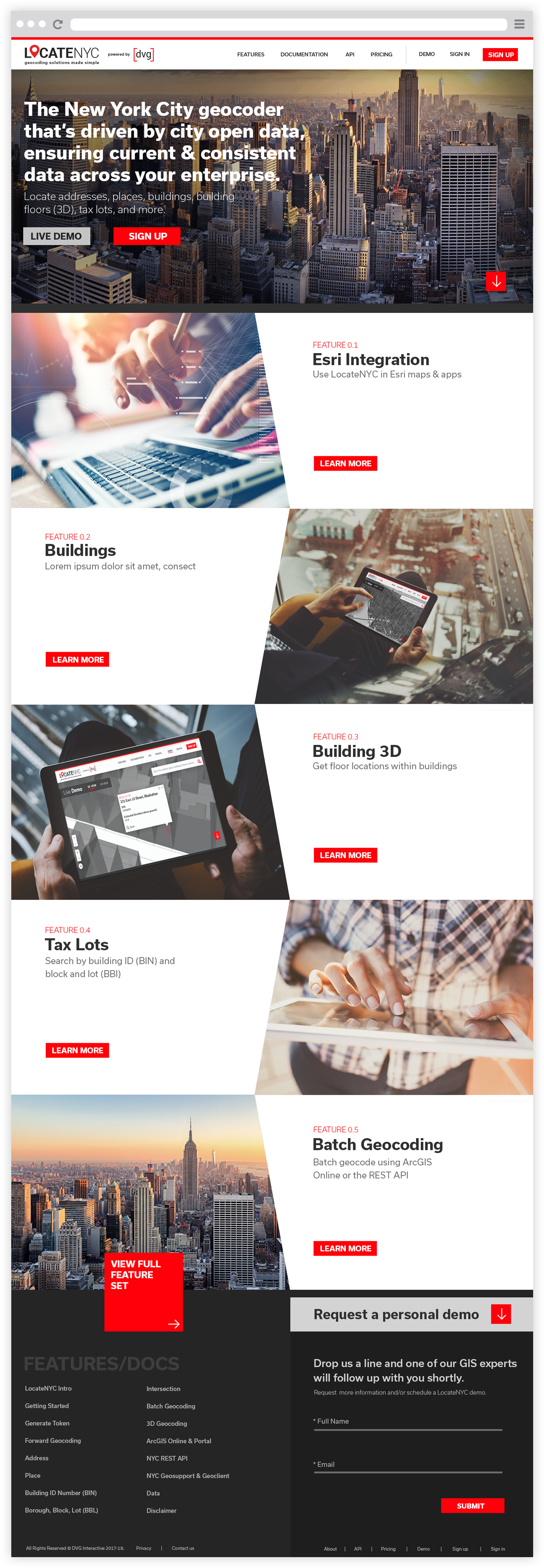
Introducing LocateNYC – a New York City Geocoding service powered, designed and created by DVG. LocateNYC is driven by city open data, ensuring current & consistent data across your enterprise. Easily integrate LocateNYC into your mapping platform, and enable your organization to locate places in the city.
What is LocateNYC?
LocateNYC is a New York City focused geocoding API that’s driven by city open data, ensuring current & consistent data across your enterprise. The API is structured to easily integrate with Esri’s ArcGIS Online and Enterprise Portal, enabling LocateNYC locating throughout the Esri ecosystem of maps and apps.
Some Key Features
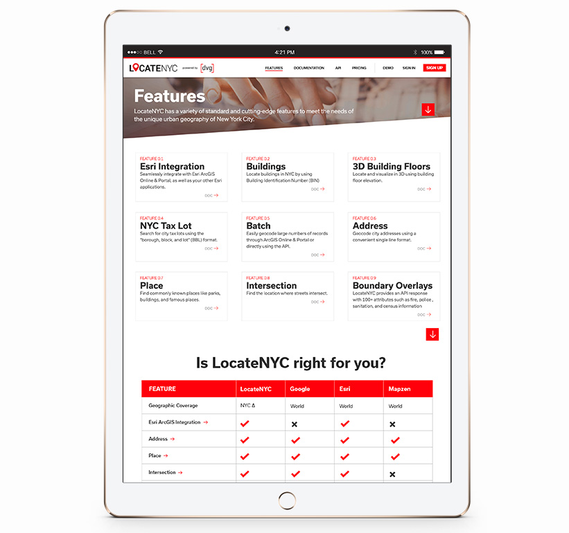
• Esri Integration – Use LocateNYC in Esri maps & apps.
• Buildings – Locate buildings in NYC by using Building Identification Number (BIN).
• Buildings 3D – Locate and visualize in 3D using building floor elevation.
• Tax Lots – Search for city tax lots using the “borough, block, and lot” (BBL) format.
• Batch Geocoding – Easily geocode large numbers of records through ArcGIS Online & Portal or directly using the API.
• Reverse Geocoding – Easily reverse geocode address data within NYC.
View project at locatenyc.io
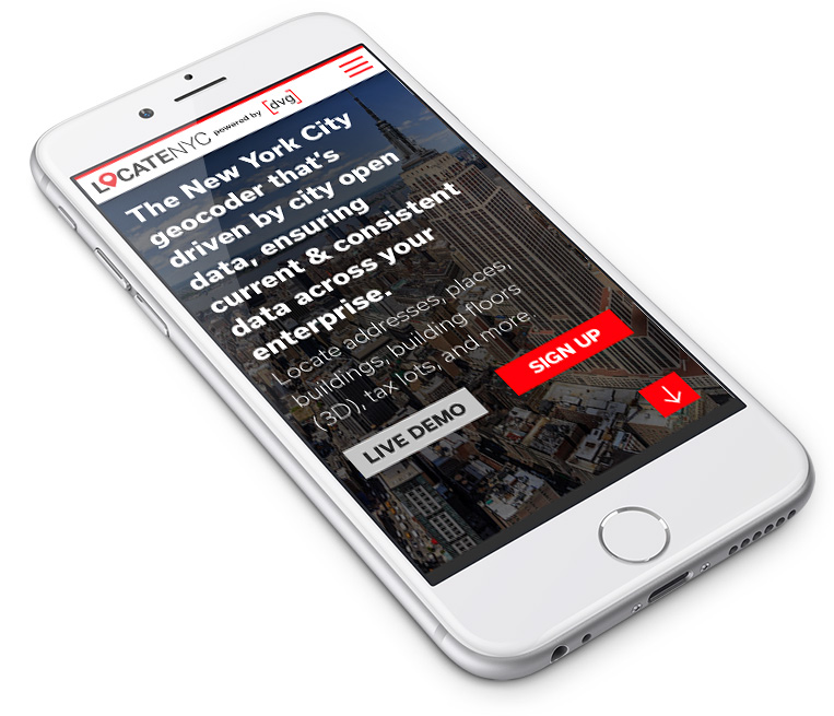
1. LocateNYC Mobile
Responds seamlessly on all phones
LocateNYC Responsive Tablet Design
Stunning and functioning seamlessly on all platforms.