

OUR PRODUCTS

Locate NYC
The LocateNYC API (locatenyc.io) is a tool for finding locations in New York City based on place, address, building, building floor, tax lot, or intersection using open data.
Managing addresses, building locations, and tax lot parcels is complicated. Fortunately, the NYC Department of City Planning (DCP) and Department of Technology & Innovation (OTI) (and other contributing departments) have done an extraordinary job of managing this data and publishing helpful tools for accessing it. The LocateNYC API leverages much of this data and tools to more easily provide access to standardized NYC data. Simply put, the LocateNYC API is driven by open data and provides a strong set of additional enhanced features such as reverse geocoding, batch geocoding, and suggestions.
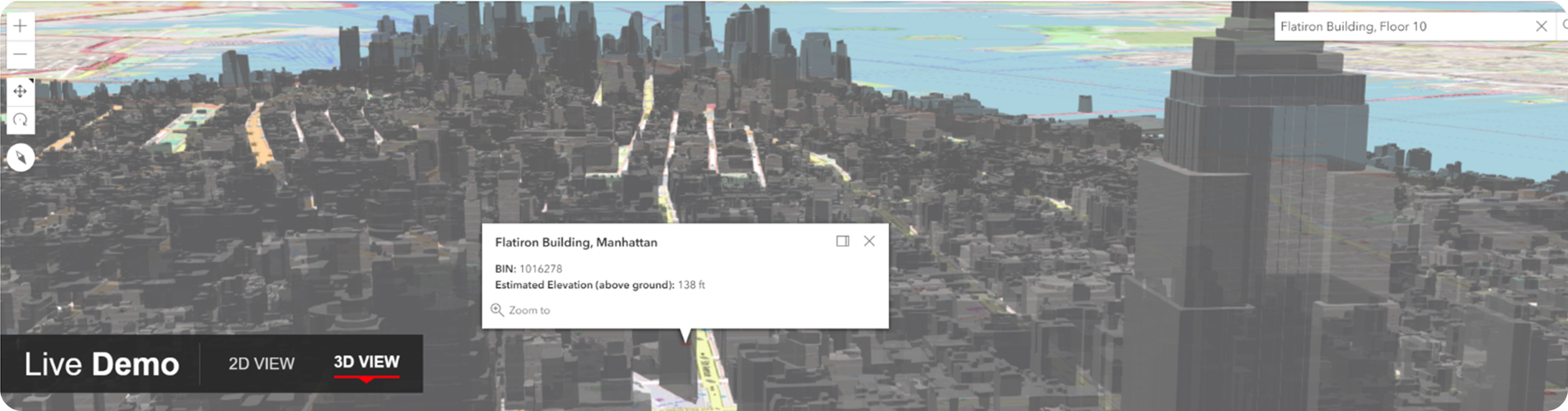
The LocateNYC API does a variety of different types of forward geocoding, including address, place, BIN, BBL, blockface, street segment, street stretch, intersection, batch, and 3D. The LocateNYC API is designed to work with Esri software, including ArcGIS Online, ArcGIS Enterprise, ArcGIS Pro, and other apps. Please see the Getting Started section to learn how to access the API with a free trial.