
LocateNYC is a comprehensive geocoding (address search) service for New York City, built on the latest authoritative location data across the city. LocateNYC provides a robust and cost effective subscription based search product for organizations needing to accurately search and map locations within the NYC. The LocateNYC search service can be used as a SaaS based service or installed on premises if required.
LocateNYC allows users to search for a number of different location types, including street addresses, buildings, tax lots, intersections, placenames, blocks and street stretches. It offers services for finding building floor elevations, batch geocoding, reverse geocoding and autocomplete/suggestions. A major benefit of LocateNYC is that it allows for seamless integration and use in Esri ArcGIS maps and applications, providing accurate location search and rich geoenrichment. LocateNYC can be registered and leveraged directly in your ArcGIS Online organization or ArcGIS Enterprise portal.
For more information on LocateNYC or to request a trial developer account, head over to locatenyc.io/sign-up
It’s a new year and we are excited to announce the latest release of LocateNYC, which includes performance improvements, data updates and some behind the scenes enhancements to the API.
Data Updates
We are committed to providing the latest and most authoritative geographic data for New York City. LocateNYC utilizes New York City’s Geosupport application, an official desktop geocoding data package built specifically for NYC as well as several other authoritative data sources of geographic data. As a result, LocateNYC is continually refreshed with the latest official data packages and our latest update to LocateNYC incorporates the latest Geosupport data packages and open data available for the city.
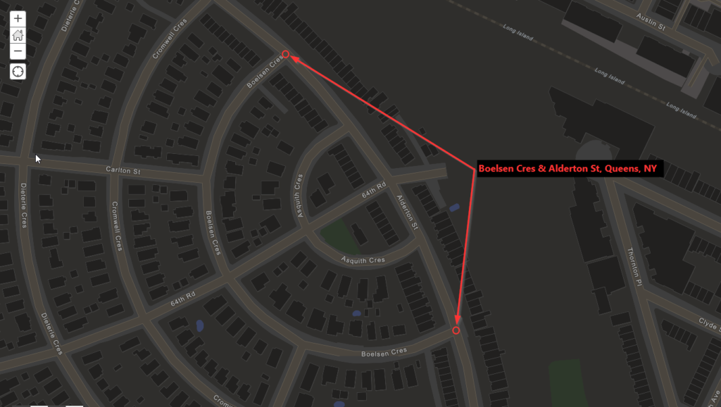
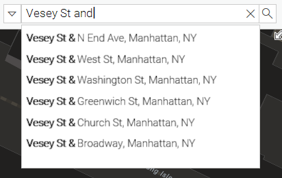
Multi-Node Intersection Support
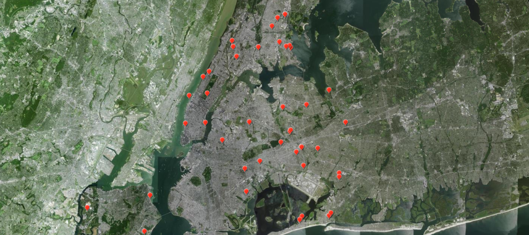
In New York City, there are a number of intersections which contain more than one node or intersection point. This scenario occurs frequently in cases where a street may be offset a short distance where it crosses another street (Figure 1). It may also occur where a street may bend around and intersect the same street more than once (Figure 2). LocateNYC now supports matching for these two-node and many-node intersections. In the case of these multi-node intersections, all intersection points will be returned as matches.

Improved Matching for Street Addresses
In previous versions of LocateNYC, address searches required a borough or neighborhood. LocateNYC now supports address searches without borough included. If the address matches to a single borough, that address will be returned, if the address occurs in more than 1 borough (multiple locations) all candidates / matches will be returned.
For example, let’s say a user is attempting to search for “100 Broadway” and they did not include a borough. 100 Broadway actually is valid address in 4 different boroughs! LocateNYC will now return an address match for each of the 4 these valid addresses. If using LocateNYC in an ArcGIS environment or ArcGIS app, these address candidates would be returned as well:100 Broadway, Manhattan, NY
100 Broadway, Bronx, NY
100 Broadway, Brooklyn, NY
100 Broadway, Staten Island, NY
Looking ahead…
We are continually enhancing the LocateNYC suite of services to provide the best available geographic data and most accurate location search for New York City. In the coming months we will be releasing a substantial update to our suggestion API, which will include intersection suggestions for all intersection locations across the city. LocateNYC will allow your end users in ArcGIS Portal, Enterprise or ArcGIS mobile apps to view all intersection suggestions for a given cross street. This will substantially improve the user experience and allow for better geocoding for your users in all of your maps and apps.
As we move into this new year, we are excited to see what is in store for LocateNYC. Stay tuned for more updates in the coming weeks and months!
For more information on LocateNYC or to request a trial developer account, head over to locatenyc.io/sign-up